
By Danielle Prieur
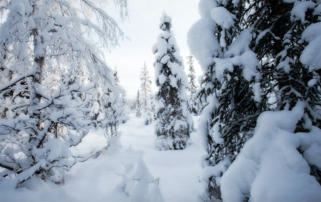
Jonas, the storm that broke records for snowfall in six states and shut down New York City and Washington D.C., seems like just another “super storm.”
Historic tornadoes, hurricanes and floods seem to be plummeting the United States with greater force.
But there’s nothing really unusual about Jonas except the amount of moisture that fed it, according to NASA’s Steven Pawson, chief of global modeling and simulation.
“Basically these storms are just natural types of weather events that happen quite frequently on the East Coast in winter,” Pawson said.
Although “snow storms are pretty typical and have happened in the past and will continue into the future,” Pawson said Jonas incorporated moisture from thousands of miles away which was unique.
“What they need to develop is this warm water source, this source of energy that comes up from the Gulf and supplies the source with moisture. Because it is warmer than normal [in the Gulf], there is more energy and moisture than otherwise,” he said.
Ricky Castro of the National Weather Service in Illinois agreed that the amount of moisture was unique.
“The moisture [came] all the way from the South of Mexico, from the Pacific and the Gulf of Mexico and the Atlantic all at once. That was why the snow was so prolific – it was the incredible amount of moisture,” said Castro.
What’s causing the increased moisture both on land and in the atmosphere?
Although it’s tempting to correlate increased moisture with human-forced climate change that has contributed to warming trends, “at this point, we shouldn’t be stating that it is,” Pawson said.
So, if climate change can’t be correlated with increased moisture, what is the culprit?
Possibly El Nino.
“Because of El Nino, temperatures in the Gulf region are higher than normal and there is more moisture which probably helped to strengthen the storm a little bit,” said Pawson.
Castro said that there is a well recorded history of El Nino increasing ocean temperatures, which increases moisture, and causes winter storms.
“In the case of this year, you typically get a strong jet stream – really strong – and moisture-related as an effect of El Nino. That’s something that’s been common in these sort of El Nino events,” said Castro. “There have been instances in the past. One of the similar years to this one in terms of strength of El Nino is 1983. They had a big East Coast storm similar to this one and that happened during El Nino.”
Other than the extra punch of El Nino, Castro said Jonas formed like any other winter storm along the East Coast.
“The weather disturbance moved onto the Pacific Northwest coast on Wednesday and then moved South and then began to intensify along the Gulf Coast. To produce that much snowfall, it picked up on moisture from the Gulf of Mexico. And then moved up the East Coast with [more] moisture from the Atlantic.”
http://https://www.youtube.com/watch?v=DV8n8fceAZo
Lack of moisture is the reason Chicagoans don’t have to worry about their own Jonas, though storms can still be severe.
“Here in the Midwest, we tend not to get as plentiful of a moisture source,” said Castro. “We do get the big events, but the last big one was 2011. The really significant events greater than 15 inches are more rare here.”
There have been snow storms in Chicago like the one in 1967 that dumped 23 inches of snow or the one in 1979 that dropped 29 inches, but no Chicago snow storm has been able to compete with the 42 inches Jonas slammed on West Virginia.
Illinois State Climatologist Jim Angel said Chicago isn’t “bulletproof” against the whiteout winter storms, but agreed they are less common since the Chicago doesn’t have the oceans that lead to the increased moisture of the East Coast.
“We’ve had some in the Chicago area that have gotten up to 20-24 inches of rain, but it’s a little harder for us to get a lot of snow because we don’t have large warm oceans,” said Angel. “We tend to be a little dryer during the winter time and storms tend to move through here much faster don’t stick around long enough to produce enough snow.”
The jet stream, fast-moving winds in the atmosphere, move storms along onto the East Coast and El Nino makes it dryer, as it has the opposite effect on the Midwest.
“Here in the Midwest we tend to have mild winter weather typically less snowfall during an El Nino event,” said Angel. “We’re coming out of these things looking pretty good.”
On the East Coast, Pawson said these events will continue. But with increased capabilities to monitor storms and alert people, the effects of these storms should be felt less.
“I think that as we get more and more information about the atmosphere and ocean from satellites and as our computing power increases, we get better models and use our data better. We are able to come up with better predictions than we would have a few years ago. It was quite well predicted,” Pawson said.
